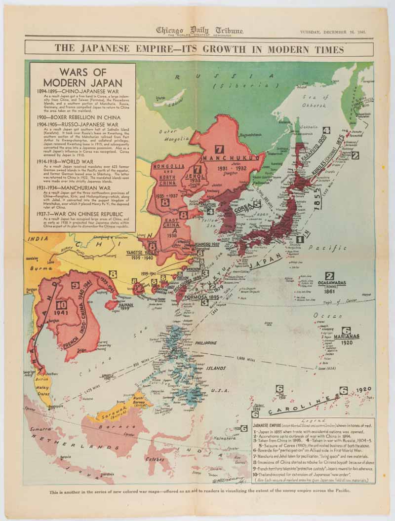
Alright so I’ve been digging into pre-WW2 maps lately for this local history project, yeah? Wanted to compare the real deal sources without blowing my budget. Started simple: just googling around.
First I hit up that big public site everyone knows, the digital one run by those map geeks. Free access, which is awesome. Maps load kinda slow though, like watching paint dry. Typed in “Frankfurt 1937” and boom – got a super detailed street map but could barely read the dang street names without squinting. Zoom in? Pixel soup. Free is cool but my eyes ain’t that young.
Free Stuff vs The Paywall Places
Then I bounced over to some university collections. Different vibe here:
- Site A: Super organized archives, felt like a library. Maps look cleaner than that first site. But oh man, the interface? Ancient. Clicking around felt like using Windows 95. Found a killer railroad map from 1935 though.
- Site B: Way nicer to look at, smooth zooming. Quality? Kinda hit or miss. One minute you see crisp city plans, next you get some blurry county outline that looks photocopied ten times. For free? Can’t really complain I guess.
Then I peeked behind the paywall. Those fancy historical archives wanting subscriptions. Did a quick peek. Yeah, the scans are museum-level sharp. You see every pencil mark, every coffee stain the cartographer left. Felt like I could smell the old paper through the screen. But thirty bucks a month? Just for a hobby project? Naaah. Not gonna happen. Maybe if I was writing a book.

The Actual Hunting Process
Here’s how it actually went down yesterday:
- Opened like 15 browser tabs. Seriously. Got lost after tab number 6. Started with generic search terms: “vintage maps Germany”, “1930s city plans”.
- Fell down rabbit holes. Spent an hour just staring at random neighborhood maps from Berlin. Totally forgot what I needed for the project.
- Downloaded PDFs till my computer groaned. Saved everything vaguely useful. Got about 20 maps. Half were garbage up close. Lesson: always check the preview zoom before downloading!
- Compared the same city across sites. Pulled up Leipzig on three different free sources. Site A had great detail but faded colors. Site B was bright but labels were fuzzy. The paid one? Crisp like a new dollar bill. But again, wallet closed.
- Gave up on finding “the best”. Seriously. Each site has its own flavor. Free ones are patchy but surprising sometimes. Paid ones are gorgeous but pricey.
So what’d I end up with? Honestly? A mess of bookmarks and PDFs on my desktop. For basic stuff, those free public archives are gold. Site A is my go-to for actual clarity when the map quality holds up. Site B is great if you just need a quick visual reference and don’t mind some fuzz.
Paid archives? They’re the fancy steak dinner. Looks amazing, tastes great. But my project’s more like microwave ramen level right now. Maybe someday.
Spent way too long doing this though. Like five hours flew by just clicking and squinting. Need more coffee now. Got access to some old family letters from the 30s actually – maybe those have better clues than these blurry maps! Still got stacks of PDFs to sort through…


